A few weeks ago, I asked for advice about GPS usage on lakes. Most advised getting a Chartplotter or some other high cost alternative.
I decided to run the risk and purchase the Nuvi 1450LM. I also purchased and downloaded the Inland Lakes Vision South Central region from Garmin. I got the Nuvi for $162.99, and extra suction cup mount for $9.77 and downloaded the mapset for $107ish after taxes (NOTE: if you check your e-mail immediately following GArmin account creation and BEFORE you purchase anything from Garmin on their website, you may get a 10% discount code. I had already purchased the Inland Lakes mapset when I got the e-mail offering 10% off anything from the website) Now I'm in it for $280ish.....
I installed the mapset and was surprised when I scrolled to a lake and nothing looked any different. I sent an e-mail to Garmin and asked for their help. They responded with the following
Thank you for contacting Garmin International.
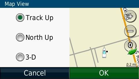
Unfortunately, your unit does not have a boating mode because it is not a unit designed for marine use. However, the mapping can still show up on the unit, but with limitations. What this means is that Inland Lakes will provide access to basic shoreline and depth detail and limited points of interest. When viewing this mapping on your device, please ensure that you have disabled your City Navigator mapping and changed your Map View from the default 3D view to either Track Up or North Up
You will also want to change your Route Preference/Calculation Mode to Off Road to ensure that you can route to a location properly.
So I have to disable the City Nav (limits the Points of Interest, can't search for food or gas etc.)
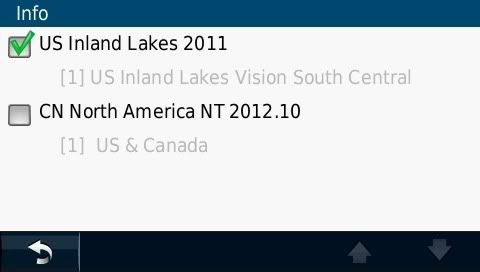
Set the GPS to offroad, so it won't route me to a street
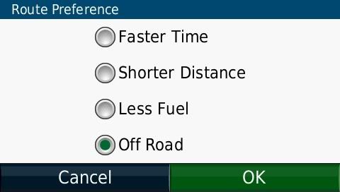
Turn off the 3-D view (I don't like it anyway)
After all that what you get is the following
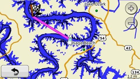
I set a destination at LOTO and set my location to a few mile markers away, notice the GPS wants you to go in a straight line, not a good idea in a boat......
Fix it by adding "Via" points from the destination backwards
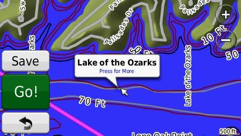
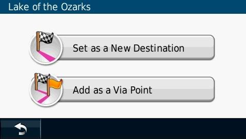
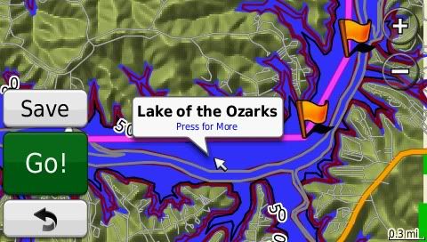
Be careful that you are at a close enough zoom in level to make sure that you are not cutting a corner!! Again not a good idea in a boat...
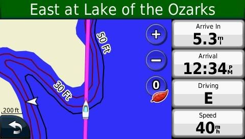
At the end of all that you get the following
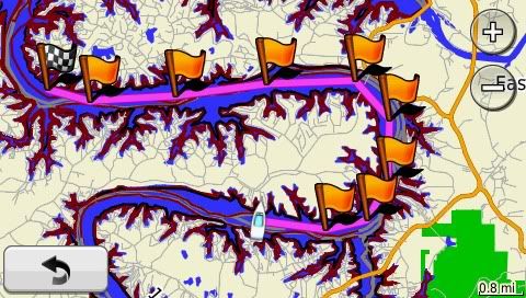
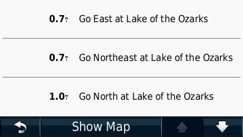
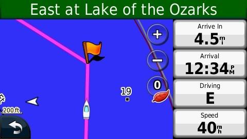
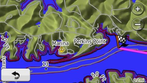
A 30 mile trip on LOTO took about 15 minutes to program and save as a route for future use. I mainly wanted advance warning of shallow water and maybe some situational awareness of where the nearest marina is, so this setup will work for me for now. I can add points of interest to the map as i find them, so that will be helpful later as well. If anyone else has questions, let me know.


