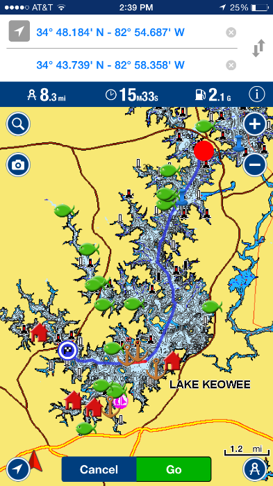
i am playing with the new AUTO ROUTING update to AVIONICS plus. on my iPhone at the office. So far i love how it gives me the route that i would choose on my own which is great and alters course around hazards and indicates hazardous areas. I will play not he iPad at home, which is my main screen when on the water. SO far this is better routing than previous where i would have to manually input each point. i like the data: travel time, fuel burn, distance. This is great info for me if i get a radio call from a buddy that is clear North or on the opposite finger and i know what the run time will be.
Also i can make routes on my phone at the office or where ever and save to my profile and they are automatically updates to my iPad ready to go when i hit the water. The Avionics app software is integratabtle with Lawrence and Garmin units. (depends on the model) so if you are NEMA system and have autopilot your route can be ran with your auto pilot.. I see a 7knt party cruise in the evening on autopilot with a return route to be amazing. pay attention but you can be at ease if you leave the helm to get a refreshment or check on the steaks on the grill.
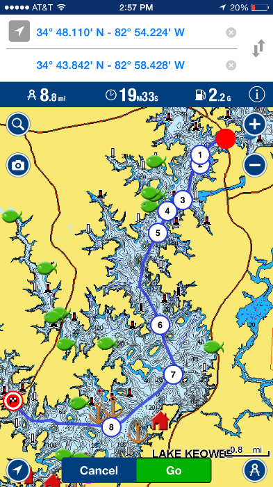
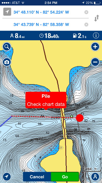
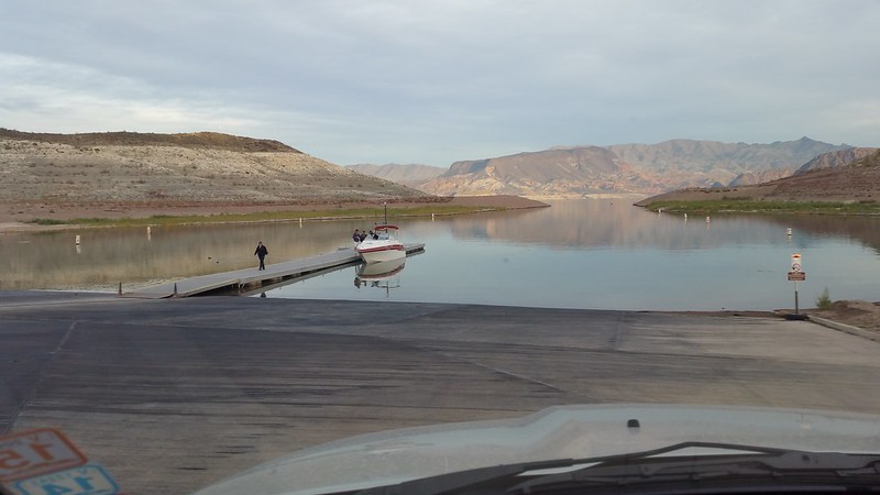
The RED spot is a submerged hazard brought to attention it flashed when zoomed in and on auto tracking. It is an old bridge that is about 30 feet down left from when they flooded the lake in the 50s. but with a simple touch of the screen i can pull the route line a hair to rout around that spot and have zero worry about it. Notice rout changes in the other photos.
Disregard all of my fishing spots they are all horrible so no need to test them out.
WATCH OUT YOU ARE GOING TO HIT THE BRIDGE PILINGS lol.
 https://youtu.be/3UnBWq_dErY
_________________
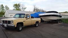
Not Penny's Boat 1993 190 Horizon 5.0L EFI http://www.smwebhead.com/phpBB3/viewtopic.php?f=3&t=11136
1977 14' CMF Skiff SOLD
2015 Emotion Stealth Angler 11


