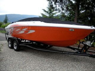
Now that I just learned how to post pictures, thanks to M3Eater, here is something that some of you might be interested in:
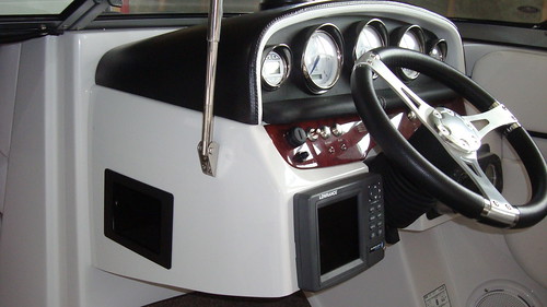
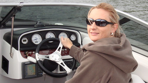
I installed a 5" color GPS mapping/Chartplotter in the helm of my 200SS. I put it where the cubby hole is, and relocated the cubby around the side, and left the ipod jack and 12VDC socket in there as well. The unit I used is a Lowrance 5200 with extenally mounted antenna. The antenna is in front of the helm, outside the glass, where the Sirius antenna is on the other side. It looks fine. I used the Lowrance for 2 reasons. 1. It fit. I had a hell of a time finding a unit with the exact dimensions I had room for, and 2. I like the Navionics software. Garmin didn't seem to offer one that was the right size, and I couldn't find a dealer who would take the time to show me software options. I use it much less for navigation than I do to tell me when I'm getting into shallow water. It's really handy on lakes I'm not familiar with. I can set waypoints, like shoals, with icons (skull & cross bones for shoals) for future reference. It's pretty cool. Lastly, it is plenty bright for use in any light.
Anyway, here are a few pics of it.
Let me know what you think.