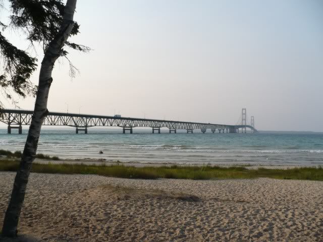
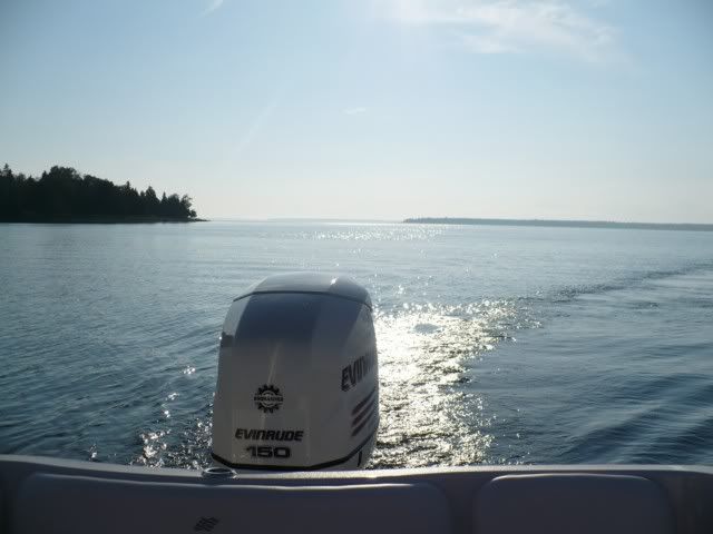
On a day like we had, it didn't really take too much courage to venture out into the open water. It was perfect weather.
We were vigilant and payed very close attention to the forecast to make sure we wouldn't get caught off gaurd later in the day.
I will say that without my iPhone I would have been a little less courageous though.
I used it to look at radar, check the marine forcast, check iFourWinns and also used the Navionics navigation app to find my way and track my progress.
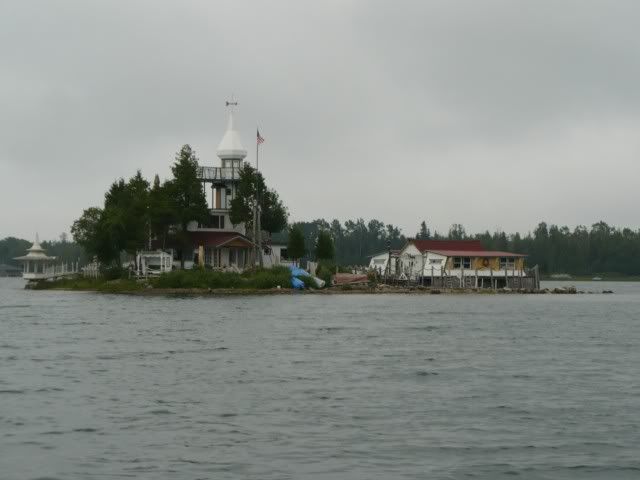
A chart plotter of some sort (even a hand held Garmin with appropriate map cards would do) is a must in the Les Cheneaux Islands. The big boulders can sneak up on you, if you don't know where they are.
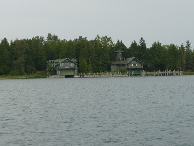
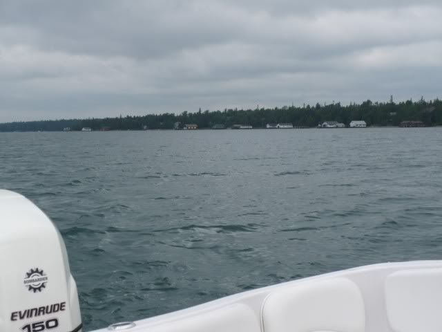
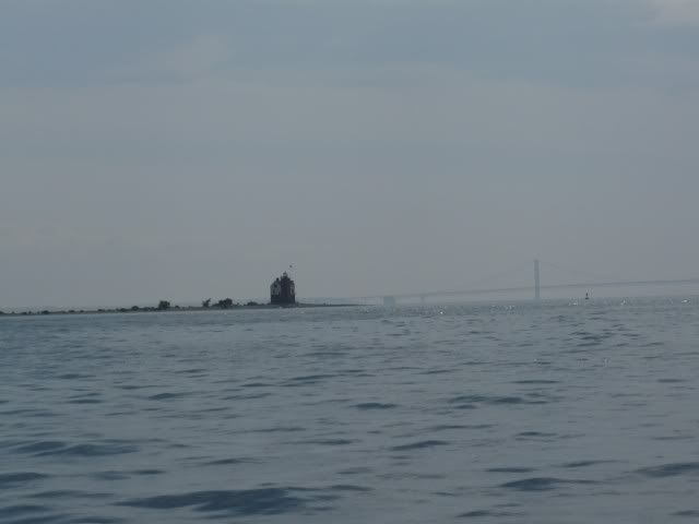
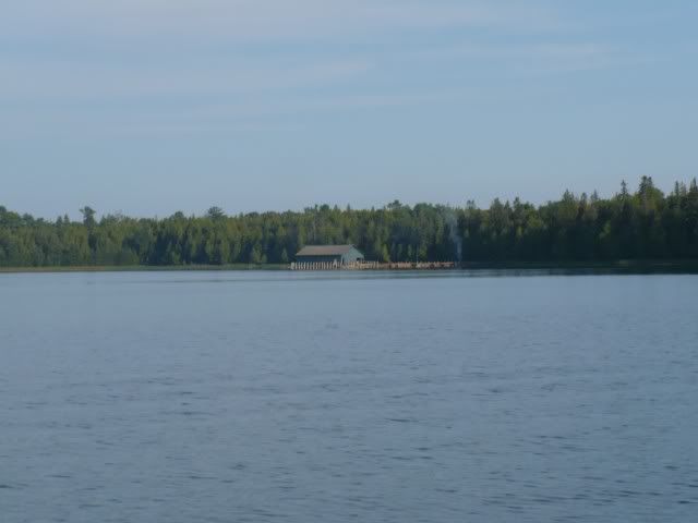
Here is a picture of some boulders off the South Western shore of Government Island. I was in about 40 ft of water in a bay between Government Island and this "point" that juts out from La Salle Island when this picture was taken. There were boulders breaking the surface several hundred yards off shore. Without a chart plotter it would have been impossible to know where it was safe to go.
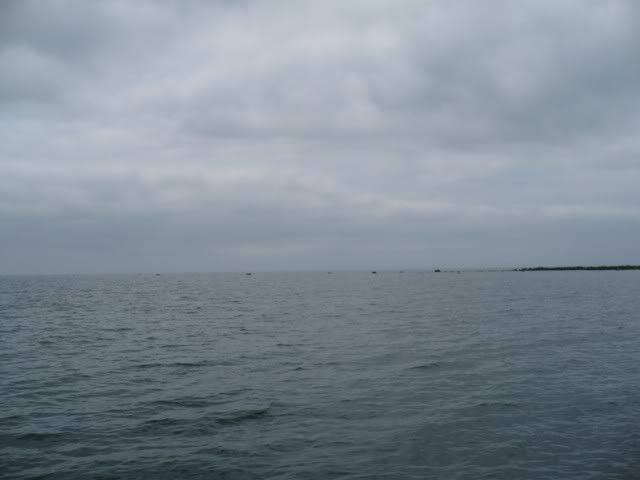
Not the best picture, but you can see the black boulders above the water.